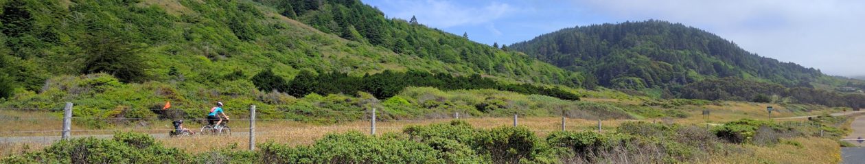

It’s been a while, but we finally made it out for another hike. We were a bit worried that there might be crowds for Earth Day, so we went a bit out of the way, south of Livermore, to get to Del Valle Regional Park.
We ate lunch first at the picnic and water area. It was busy, but not crowded. Then it was off to find the trailhead. It was actually surprisingly difficult to find the one we were looking for, as the trailheads didn’t have much in the way of signage. But we use our map powers to figure out which was which.
The planned route was a bit long, 5.9 miles with about 700 feet of climbing. 700 feet of climbing doesn’t sound like much on a bike ride, but what I failed to consider was that 700 feet across a 40-50 mile bike ride makes for a lot less dense of climbs than doing a 6 mile hike. We started out on Squirrel Gulch Trail with a steep rise out of the valley and into the hills. Strava claims it topped out at a 38% grade. I ended up on all fours for part of it.
That quickly put us quite a bit up. It was hot (around 80ºF), dry, and mostly exposed, but short of scorching. Max has been insisting on long sleeve shirts. As we continued up and down and around the hills, he complained about being hot and wanting to be carried. Anne insisted he wear a short sleeve shirt for a while before being carried. At first he backed, down, but then later ended up in the shirt. He was not having it. I was walking ahead with Ruth, but could hear him complaining about how he wasn’t going to walk in short sleeves. As far as I can tell, he hasn’t given a reason for it, but three year olds don’t always have good reasons for things. Even food didn’t seem to be helping.
We made it to the intersection with Ridgeline. To the left was our planned route, a out-and-back to a loop. To the right was the planned return trail after the loop. Anne decided she had limited patience for sleeve-based complaints (and limited carrying capacity). So we turned to the right, cutting off the middle section of the hike.
Ridgeline was flatter, though still generally up. Ruth was off ahead, Anne trailing behind with Max. Eventually, Anne caved and put Max on her back. I doubled back to get the backpack to share the load. Max got jollier once he didn’t have to do the walking, though that made it harder on Anne.
As we continued along, we saw cows hanging around, eventually meeting some on the trail. There was signage at a different park suggesting you approach a cow from about 3 to 5 o’clock (or 7 to 9) — somewhat behind, to encourage them to move forward and away from you without triggering aggression or panic. Well, that’s hard to do when they’re facing you. So we just went around as wide as we could.
Ridgeline looped back down to the parking area, fortunately somewhat less steep. We got ice cream bars from the snack shack at the bottom, and the kids waded in the water for a few minutes. Then it was time to pack up and head home.
I’m disappointed that we needed to cut the hike short, but the timing ended up pretty good. I suspect if we had kept on it would have been too much, even if Max had been fully cooperative. Maybe he was trying to tell us not to bite off more than we could chew.