
Yesterday’s ride into Port Orford may have been ho hum, but today’s ride south out of town made up for it.
We started right away with a climb, without any time for our legs to loosen up. It was a fairly shallow climb, so we could just go slowly without falling over, until we warmed up a bit.
The road took us up and around rocky cliffs, green hills, and sea stacks. The waves of the ocean crashed below, and we could hear seals barking and watch surfers waiting for the right wave.
Fog rolled in from the ocean below and wafted up the cliffs. As we descended, it drifted over the road, as the kids exclaimed about biking through the clouds.
We came down through Humbug Mountain State Park and climbed back up, this time riding along the ridge line. We played a new game, 20 Questions, with Ruth to pass the time. Ruth picked herself as the subject.
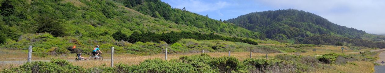
North of Wedderburn, we got off 101 for an excursion on Old Coast Road. It was much hillier than the highway, and got to a single narrow lane for a bit. It was a nice change of pace.
We got a nice view of the Rogue River Bridge as we neared the highway. This bridge features tiered arches like a Roman aqueduct. A tractor got on the road behind us, much to everyone’s amusement. We managed to outpace it, even up the steep ramp to rejoin 101 and cross the bridge into Gold Beach.
It was time for lunch, so we followed signs for beach access in town, figuring there would be tables, or at least a space to lay out blankets. There was no follow-up signage, and we ended up at a picnic table at the municipal airport, on the other side of the fence from the runway.
I was hoping we could watch planes take off and land while we ate, but the airport was pretty deserted. We could see a few people in the distance, but nobody seemed to be flying.
Then back up the hill to get back on our route. After a run through town, it was time for the main sustained climb of the day. There was a section where one lane and the shoulder were closed for repairs, but thankfully traffic was light enough for us to crawl through by without a problem. The climb wasn’t particularly steep, but it kept teasing me towards the top. Surely it’ll be done after this next turn.
Eventually the hill gave in and let us descend. At first, it was disappointing. Sure, we could coast if we wanted to, but it wasn’t much fun. We considered stopping at a viewpoint, until we saw it go steep up into the woods. No thanks.
Then we passed a down grade sign, and it delivered. Down enough to go fast, turns enough to be interesting but still enough visibility to lay off the brakesq. We got some cross gusts, but could take the lane to have room to work with.
Near the bottom there was a loaded cyclist walking up the hill. I thought it was just too steep for him – there’s no shame in walking, but if he needed to walk this grade he’d have some long days ahead. Anne thought he might have some mechanical issue. In any case, we zipped by too fast for more than a friendly wave.
We enjoyed a nice stretch along the coast, where watersports of all descriptions were in progress. Then back up for the final stretch. We rode across the Thomas Creek Bridge, which according to the sign is the highest bridge in Oregon, 345 feet. The view off the side was amazing, but sadly we never got to see more of the bridge itself other then the vanilla asphalt and concrete road deck.
As we descended back down, I was worried we’d miss the turn for our hotel and need to climb back. There was a big sign, so no need for concern. The Whaleshead Beach Resort is a nice collection of individual cabins, mostly vacation home/timeshares/rental units, built up along the hill. The onsite restaurant and store (more of a staffed vending machine) have limited selection and hours, but were able meet our needs for the evening.
Tomorrow we finish up Oregon and this stretch of rides. Our first stop in California will be a rest day.