Today was our shortest day yet, finishing up the Cascade Lakes Scenic Byway. 1500 feet up, then 3000 feet down into Bend.
The rest day yesterday was nice. We rented a kayak in the morning (our arms didn’t need rest after all), splashed in the lake a bit, and took an afternoon nap.
The morning today was a bit rough. We had a hard time figuring out exactly what flavor of applesauce Ruth needed Now (every now and then she likes to remind us that she is indeed a two year old). We ended up breaking out one of our remaining secret weapons — a phone loaded with kid’s music. while we were stopped, a female elk hopped across the road maybe 100 feet behind us. It was gone before Anne could turn around. I suggested that made us even for her deer sighting on the first day, but she reminded me that there were three for her, so she was still winning.
The morning climb itself wasn’t too bad. 1500 feet split in two pieces, with less than half the climb above about 5%. Not much of a shoulder, but fortunately most of the traffic was in the other direction. Still no switchbacks. Even though it was still early, the sun was really hot. I went through all three of my water bottles before I knew it. We carry a 6L bladder for refills, though, so we weren’t in any danger of running out.
We started seeing a lot more bikers, both mountain and road. We didn’t see any other touring folks, though. There was one mountain biker who had stopped to pick up a dead hawk. We usually just gawk at roadkill. Maybe he worked at one of the taxidermy places we passed.
The seas of trees were still present, but today we got much more mountain poking up. Mt Bachelor, Broken Top, and South Sister were all regular features in the landscape. The summit was our highest elevation for the trip, around 6300 feet. Sadly, there was no elevation sign to mark the occasion.
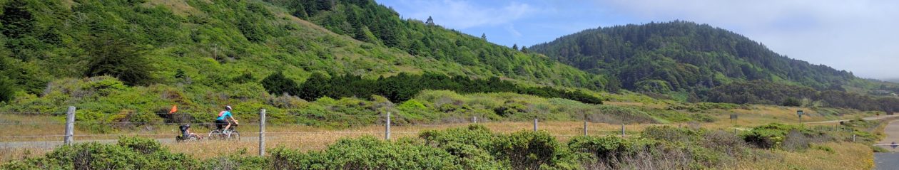
Next, the descent. Very straight, very even. There was a very nice shoulder, too. Anne kept the trailer again, and seemed to be having fun. She said she didn’t need the brakes at all, and I only needed them to stay behind her.
We stopped for lunch at a vista point, which luckily enough had a nice bench on a path behind the parking area. As we were leaving, there was a woman doing a traffic survey. My favorite question: “Are you planning to stop to recreate in the forest any more today?”. Anne said no, but I wanted to say that we had been “recreating” in one national forest or another all day every day for almost a week. I guess we didn’t end up doing again until we exited Deschutes National Forest, so I guess Anne’s answer was probably the accurate one. I hope she had a checkbox for bikers, since in the 30 minutes or so we were there, only bikers stopped by.
As we got further into Bend, traffic picked up and the grade shallowed out. We had planned to take a the Long Haul Trail, which runs parallel to the main road, but it turned out to have big seams in the pavement and annoying road crossings, so back on the road we went.
Anne’s bike computer shows a map of our planned path, but doesn’t actually know anything about streets. This works pretty well out in the county where there isn’t another turn for a mile, but can be hard to use in a city. I prepared a cue sheet, too, but it was too late, we got lost in Bend. Smartphones to the rescue. Then, when we got back on track, it turned out that the road we wanted to be on was closed.
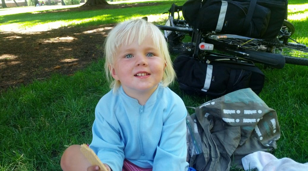
Finally, we made it to our hotel. It was to early to check in, so we hung out in the park next door. We probably looked like vagrants. I suppose we are.
We figured out that the road closure was for stage 4 of the Cascade Classic bike race, and got to watch the Women’s Pros some after dinner. They were fast, although Anne pointed out that nobody had remembered to bring their toddler in a trailer. Stage 3 went past us on our rest day, and Stage 5 on our roads tomorrow. They’re going in the opposite direction, though, so I’m hoping it won’t interfere too badly.